UN
72 Linden Road
£ 198,500
Description
We don't have a Description for this property.
- Bedrooms
- 2
- Bathrooms
- 0
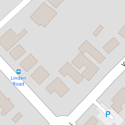
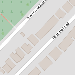
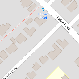
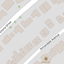

Leaflet © OpenStreetMap contributors
The heatmap indicates the level of crime in the area. The color of the heatmap indicates the crime severity and recency.
Metrics Year-on-Year
- Average area value
- 761,083.00 £Increased by 6.90 %
- Average area rental value
- 2,056.00 £/moDecreased by 3.34 %
- Est rental Yield
- 3.24 %Decreased by 9.75 %
- Crime Rate
- 7.00 %Unchanged by 0.00 %
from 711,963.00 £
from 2,127.00 £/mo
from 3.59 %
from 7.00 %
Nearby Schools
| Name | Type | Ofsted | Distance |
|---|---|---|---|
| Bognor Regis Nursery School | Local Authority Nursery School | Outstanding | 0.08 KM |
| Bognor Children And Family Centre | Children's Centre | 0.15 KM | |
| Edward Bryant School | Academy Converter | Good | 0.96 KM |
| Treehouse Children & Family Centre (Bersted) | Children's Centre | 0.98 KM | |
| Bersted Green Primary School, Bognor Regis | Community School | Good | 0.99 KM |
Images
Nearby Streets
| Name | Average Price | Average Sqft | Distance |
|---|---|---|---|
| Hawthorn Road | £ 265,000 | 0 | 0.00 KM |
| Chichester Road | £ 316,667 | 0 | 0.00 KM |
| The Paddock | £ 289,950 | 0 | 0.00 KM |
| Gordon Avenue | £ 0 | 0 | 0.00 KM |
| Stanley Close | £ 90,000 | 0 | 0.00 KM |
Nearby Transport
| Name | NLC | TLC | Distance |
|---|---|---|---|
| Bognor Regis | 5253 | BOG | 0.58 KM |
| Barnham | 5252 | BAA | 6.52 KM |
Nearby Listings
| Address | Price | Type | Score | Distance |
|---|---|---|---|---|
| Linden Road, Bognor Regis | £ 455,000 | BUY | 7 / 10 | 0.03 KM |
| Victoria Drive, Bognor Regis | £ 375,000 | BUY | 6 / 10 | 0.10 KM |
| Victoria Drive, Bognor Regis, PO21 | £ 700,000 | BUY | 7 / 10 | 0.10 KM |
| Hillsboro Road, Bognor Regis, PO21 | £ 375,000 | BUY | 7 / 10 | 0.15 KM |
| Victoria Drive, Bognor Regis, West Sussex, PO21 | £ 161,500 | BUY | 5 / 10 | 0.17 KM |
Nearby Properties
| Address | Price | Distance |
|---|---|---|
| 74 Linden Road | £ 310,000 | 0.00 KM |
| 72 Linden Road | £ 198,500 | 0.00 KM |
| 72a Linden Road | £ 115,000 | 0.00 KM |
| 95 Victoria Drive | £ 320,500 | 0.11 KM |
| 91 Victoria Drive | £ 387,000 | 0.11 KM |